Topography
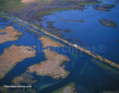
- The Coastal Plains are a lowland, mostly flat area that stretches 3200 km, from Cape Cod, then along the Atlantic Coast, to west into Mexico.
- The average elevation is less than 200m above sea level
- More than half of the Coastal Plains is less than 30m above sea level
- Contains much wetland, mostly swamps & marshes. Both are sources of shellfish & many other aquatic lifeforms.
- Before, the gradual sinking of the land allowed the sea to submerge the lower reaches of streams that cross the plains
- The Mississipi Delta is where the Mississippi River empties into the Gulf of Mexico, creating large areas of fertile land, used for agriculture.
Climate
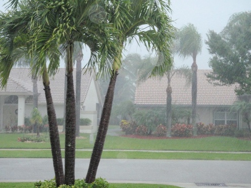
- Climates & temperatures vary by each part of the region
- The north has cold, snowy winters, and hot, humid summers
- The south is home to sub-tropical weather, with mild to warm winters, and hot summers as well.
- Although snow is common, the overall precipitation up north is less than the south. Florida, for example, has upwards of 200mm of rain in the summer months.
Vegetation
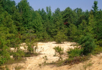
- Soils are mostly sand
- The natural vegetation in the plains have adapted to the sand, especially in some areas where lush jungles have grown.
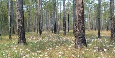
- The vegetation originally consisted of mainly pine forests before the sandy environment was formed
Economic Activity
- Industries found in the Coastal Plains include processing, manufacturing and marketing products, mainly seafood and wood.
- Others are tourism & recreation, shipping, papermaking, commercial fishing and forestry.
Environmental Concerns
- Pollution is a major environmental issue of the Coastal Plains
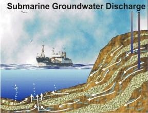
- One concern is submarine groundwater discharge (SGD). Groundwater is released to beaches & nearshore environments, and degrades seawater quality, bottom habitats & coral reefs.